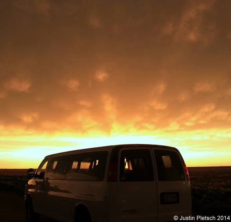
Supercell from Edgemont, South Dakota to Henry, Nebraska

Supercell from Edgemont, South Dakota to Henry, Nebraska

Bill was wanting to drive up to Rapid City, SD, where models were wanting to initiate thunderstorms.  Along the way, we stopped in Edgemont, SD for a pit/fuel stop, and we noticed a cell a few miles away.  Bill liked the look of this storm, and it was isolated from the activity near Rapid City.  We decided to hedge our bets with this cell, and we definitely were not disappointed!

Booker, Texas Nighttime Supercell

Booker, Texas Nighttime Supercell

I made my way to OKC on Tuesday, May 2, and with Bob C. and Bill S., rounded up five guests from Tour 1 and Tour 2 for a chase into northwestern OK.  We left OKC really late, at 5 p.m., but that was not too much of a problem as the upper-level support was late and nothing had developed yet.  I was hoping that the models which showed early evening development into extreme western OK would come to fruition.

Abilene and Chapman, Kansas Tornado

Abilene and Chapman, Kansas Tornado

The models that we looked at mid-morning were a bit weak and wishy-washy with regard to storm development near the surface low and down the dry line.  It is never fun to wake up and see a downgrade by SPC, but I did not necessarily disagree in this case.  I think I told the group that we would be playing the triple-point at the surface low.  The instability and shear would be excellent to our east and southeast later on, towards Salina, and we would just have to cross our fingers that the cap would not be too strong.

Woodward, Oklahoma Tornado

Woodward, Oklahoma Tornado

The look of the sky was not helping too much yet.  Chris was a little nervous about chasing south of I-40 in the eastern TX PH, where there had been flooding problems the previous evening.  I elected to stick with the NW OK target.  We were there, and on paper it was looking about as good as the southern play.  We went back north to Shattuck…and north to Laverne.  Deja vu!  Eventually some towers developed…yes!

Wray, Colorado Tornadoes

Wray, Colorado Tornadoes

After about another one-half mile, we stopped and got out to see a gigantic dust tube spinning rapidly just to our WSW, perhaps a half-mile away.  (CR 39 goes WSW-ENE here.)  The tornado moved rather methodically to the NNE, and we were able to watch without too much concern for our safety now!  I managed a bunch of stills and video — this tornado was quite strong and quite close and absolutely spectacular.  What a moment this was!

Fort Stockton, Texas Tornado

Fort Stockton, Texas Tornado

I made my way east on I-10 and, with the help of Chris, determined that the place to be by 2 or 3 p.m. was Fort Stockton, right on I-10 in Pecos County.  I arrived in town around 2 p.m., and clouds were starting to build above the sun-bathed desert landscape.  The Storm Prediction Center was not especially impressed with the setup today

Ooops, We Killed Storms Again

Ooops, We Killed Storms Again

We began yesterday in Lamar, CO, and we were not in any big hurry to leave.  The other driver (Woody), Bill, and I took the vans to get washed, while the rest of the group had the chance to listen to one of Chuck Doswell's presentations.  This is the Chuck Doswell tour, so we get to pick his brain for the duration of this week.